
Land Surveying Drone

The Best Drones for Accurate Land Surveying & Mapping in 2024
Drones have revolutionized land surveying and mapping, offering professionals across various industries the ability to conduct surveys faster, more accurately, and with lower costs than traditional methods. UAVs (Unmanned Aerial Vehicles) equipped with high-precision sensors like RTK (Real-Time Kinematic), PPK (Post-Processed Kinematic), LiDAR (Light Detection and Ranging), and high-resolution cameras are redefining how land data…
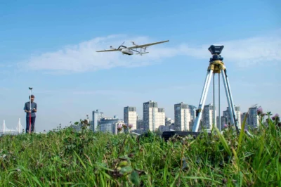

Best Drone for Land Surveying: Top Picks & Reviews
Land surveying has evolved dramatically with the advent of drone technology. It’s not just about flying a drone; it’s about choosing the right one that can yield precise data with efficiency and reliability. That’s why I’m here to guide you through the nuances of selecting the best drone for land surveying tasks. Key Takeaways Soaring…