
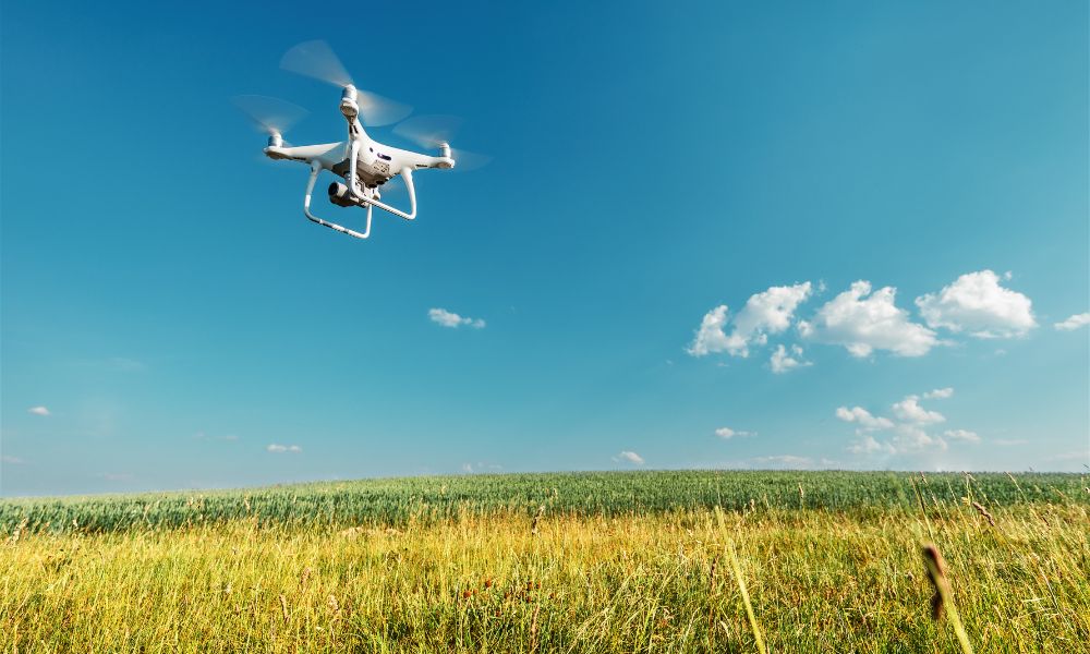
Drones have revolutionized many industries, with land surveying and mapping being one of the most prominent beneficiaries. Over the past decade, UAVs (Unmanned Aerial Vehicles) have proven themselves to be indispensable tools in gathering accurate data for construction, agriculture, real estate, environmental monitoring, and other land-related sectors. In land surveying, drones are used for creating topographical maps, 3D models, and aerial imagery, and for monitoring land changes over time.
Choosing the right drone for land surveying and mapping can significantly affect the quality, efficiency, and accuracy of your data. In this guide, we’ll explore the best drones for land surveying and mapping, including features, specifications, and recommendations for different surveying needs.
1. Why Use Drones for Land Surveying & Mapping?
Before delving into the best drones available, let’s understand why drones are becoming the preferred choice for land surveying and mapping:
Key Advantages:
- High Accuracy: Drones equipped with high-precision GNSS (Global Navigation Satellite System) receivers and cameras can collect highly accurate data for land surveys and mapping projects.
- Cost-Effective: Traditional land surveying methods can be costly and time-consuming. Drones drastically reduce the need for human labor and expensive equipment, such as ground vehicles and survey poles.
- Speed: Drones can cover large areas quickly, significantly reducing the time required to complete surveys, sometimes by as much as 70%.
- Accessibility: Drones can reach difficult-to-access areas like steep terrain, water bodies, or dense vegetation without the need for risky climbing or labor-intensive equipment.
- Safety: Drones can survey hazardous sites like construction zones or natural disaster areas with minimal risk to human surveyors.
2. Key Features to Look for in Drones for Land Surveying & Mapping
When selecting a drone for surveying and mapping, several features and specifications should be considered to ensure accuracy, reliability, and efficiency. These include:
1. Camera Quality and Sensor Type
For mapping and surveying, a high-quality camera is essential. Drones equipped with RGB cameras (standard cameras), multispectral cameras (for agricultural or environmental surveys), or LiDAR sensors (for precise topographic mapping) are ideal. LiDAR sensors, in particular, are great for creating highly accurate 3D models of the land surface.
2. GPS/RTK/PPK Capabilities
The accuracy of land surveys heavily relies on the GPS. For high-precision surveys, RTK (Real-Time Kinematic) or PPK (Post-Processed Kinematic) systems are crucial. These systems enhance a drone’s GPS accuracy to within a centimeter, providing much more reliable data than standard GPS.
3. Flight Time
The flight time determines how long the drone can stay in the air and collect data. Drones with longer flight times are better suited for larger surveying projects as they can cover more areas without frequent recharging.
4. Payload Capacity
Depending on the sensors or cameras you wish to use, you’ll need to consider the drone’s payload capacity. Drones with a high payload capacity can carry heavier sensors, such as LiDAR units or high-resolution cameras, which are essential for accurate mapping.
5. Autonomous Flight & Software Integration
Modern drones for surveying come with autonomous flight capabilities. This means that once you set up a flight path, the drone can follow it without manual control. Also, integration with surveying software like Pix4D, DroneDeploy, or Agisoft Metashape is necessary for processing the data captured by the drone into accurate maps and 3D models.
3. Best Drones for Land Surveying & Mapping
Here are the best drones for land surveying and mapping, categorized based on their use cases and capabilities:
1. DJI Phantom 4 RTK
The DJI Phantom 4 RTK is one of the best drones for surveying because it is specifically designed for high-precision mapping. It features a built-in RTK system, ensuring centimeter-level accuracy for georeferencing images. The drone has a 20MP camera that provides high-quality imagery for creating detailed maps and models.
Key Features:
- RTK-enabled for high-precision georeferencing
- 20MP camera with mechanical shutter
- 30-minute flight time
- Advanced autonomous flight capabilities
- Integrated mapping software compatibility
Why It’s Best:
The DJI Phantom 4 RTK is ideal for surveyors who need highly accurate results with minimal effort. Its RTK system significantly reduces the need for ground control points, making it an excellent choice for topographic surveys, construction projects, and agricultural mapping.
2. senseFly eBee X
The senseFly eBee X is a fixed-wing drone designed for surveying and mapping larger areas. Its long flight time and robust payload capacity make it perfect for professional land surveying over vast areas, such as agriculture, forestry, and mining.
Key Features:
- Fixed-wing design for long-range flights
- Flight time of up to 90 minutes
- RTK and PPK capabilities for high-precision data
- Payload capacity of up to 1.2 kg (2.6 lbs)
- Compatible with multiple payloads, including RGB and multispectral cameras
Why It’s Best:
The eBee X excels in large-scale projects, especially where long endurance and extensive coverage are needed. Its RTK/PPK technology provides exceptional accuracy, and its compatibility with various payloads ensures versatility across different surveying needs.
3. DJI Matrice 300 RTK
The DJI Matrice 300 RTK is an industrial-grade drone that offers exceptional stability, payload flexibility, and advanced RTK capabilities. It is equipped to carry LiDAR systems, cameras, and other advanced surveying sensors, making it one of the most powerful drones for land surveying.
Key Features:
- RTK-enabled for centimeter-level precision
- Payload capacity of 2.7 kg (6 lbs) for heavy sensors
- Flight time of up to 55 minutes
- Advanced safety features like obstacle avoidance and redundancy systems
- Compatibility with LiDAR and multispectral sensors
Why It’s Best:
For large-scale land surveys and construction projects, the Matrice 300 RTK is a top choice. Its payload capacity and advanced sensor integration allow surveyors to deploy LiDAR for high-precision topographic mapping, thermal cameras for environmental surveys, and much more.
4. Parrot Anafi USA
The Parrot Anafi USA is a versatile drone designed for surveying and mapping in urban environments, forests, and construction zones. With its 4K HDR camera and LiDAR integration, it’s ideal for detailed 3D modeling and mapping applications.
Key Features:
- 4K HDR camera and LiDAR sensor
- RTK capabilities for precise georeferencing
- Flight time of 32 minutes
- Automated flight modes for surveying
- Portable design
Why It’s Best:
The Parrot Anafi USA offers a portable, compact solution for urban mapping, land development surveys, and environmental monitoring. Its LiDAR and camera integration provide excellent flexibility and detail for both topographical and structural surveys.
5. Delair UX11
The Delair UX11 is another fixed-wing drone designed for high-precision land surveying and mapping. It’s a top choice for engineering, construction, and mining surveys, offering extensive coverage and accuracy.
Key Features:
- RTK/PPK functionality for high-accuracy surveys
- Flight time of 59 minutes
- Automatic flight planning and execution
- GPS-based autonomous navigation
Why It’s Best:
The Delair UX11 is ideal for industrial applications where high precision and long endurance are critical. Its RTK/PPK capabilities make it perfect for large-area mapping in sectors like mining and construction.
4. Key Software for Processing Surveying Data
The drone itself is just one part of the equation. Once the drone captures images, you’ll need powerful surveying software to process the data into usable maps and 3D models. Below are the top software options commonly used for surveying drones:
1. Pix4D
Pix4D is one of the leading software solutions for creating 2D maps and 3D models from drone imagery. It integrates well with drones like the Phantom 4 RTK, Matrice 300, and others, offering both RTK and PPK support.
2. DroneDeploy
DroneDeploy is a cloud-based software that’s known for its user-friendly interface. It allows surveyors to process large datasets, generate maps, and analyze terrain with minimal technical knowledge.
3. Agisoft Metashape
Agisoft Metashape is a powerful photogrammetry software used for processing aerial imagery into 3D models, particularly for large-scale land surveys and environmental monitoring.
5. Applications of Drones in Land Surveying & Mapping
1. Topographic Surveys
Drones can create highly detailed topographic maps with contours and elevation data. By using LiDAR sensors or RTK cameras, surveyors can create accurate, georeferenced maps of land surfaces.
2. Construction Site Monitoring
Drones can be used to monitor construction progress, perform volumetric analysis, and inspect construction sites for structural integrity. They capture high-resolution images and data for building accurate 3D models.
3. Agricultural Mapping
Drones equipped with multispectral sensors can map agricultural fields, assess crop health, and generate data for precision agriculture, ensuring optimal irrigation and fertilizer use.
4. Environmental Monitoring
Drones are used to monitor environmental changes, such as deforestation, erosion, and wildlife tracking. Their ability to cover vast areas quickly and collect data in real-time makes them ideal for environmental studies.
5. Mining and Quarry Mapping
In mining and quarry management, drones can survey large areas and generate volumetric calculations to measure stockpiles, track changes in terrain, and assess mining progress.
6. Conclusion
Choosing the right drone for land surveying and mapping depends on your specific needs—whether you’re working on a small-scale topographic survey or a large industrial project. Drones like the DJI Phantom 4 RTK, senseFly eBee X, and Matrice 300 RTK offer precision, reliability, and versatility for professional surveying tasks. With high-quality cameras, RTK capabilities, and powerful surveying software, drones are transforming the way we gather land data, reducing costs, and increasing accuracy in the process.
By selecting the right drone and integrating the right software, you can revolutionize your land surveying operations, enhance data collection, and create highly accurate maps and models. Investing in the best drone for land surveying is not just about improving accuracy—it’s about driving efficiency and gaining a competitive edge in the rapidly evolving world of geospatial data.